Log in
All resources
Create a design
1,096,168 Free Images of Maps Of Bern
atlas van der hagen
maps with cartouches
maps in the library of congress
atlas van der hagen (volume 1)
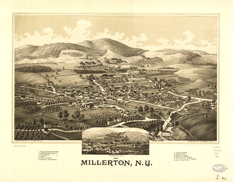
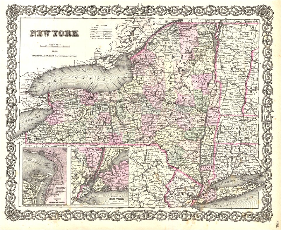
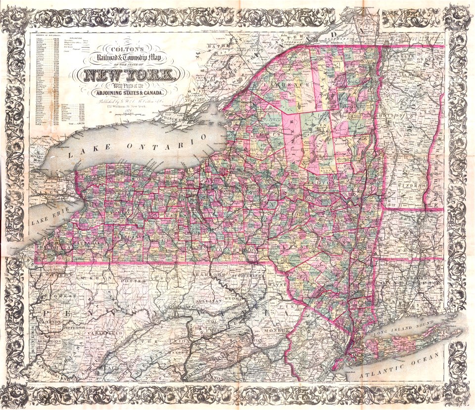
new york
maps by joseph hutchins colton
maps by royal bavarian land tax commission
old maps of freising
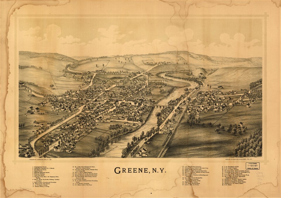
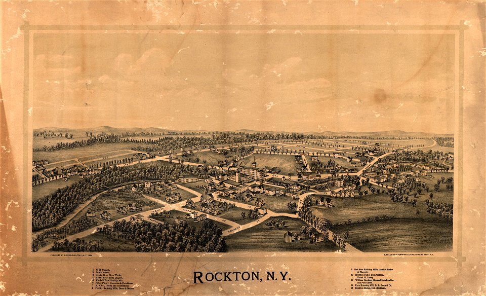
town maps by l. r. burleigh
1753 maps
maps in the library of congress
new york
maps with cartouches
atlas van der hagen
maps with cartouches
atlas van der hagen
maps with cartouches
atlas van der hagen
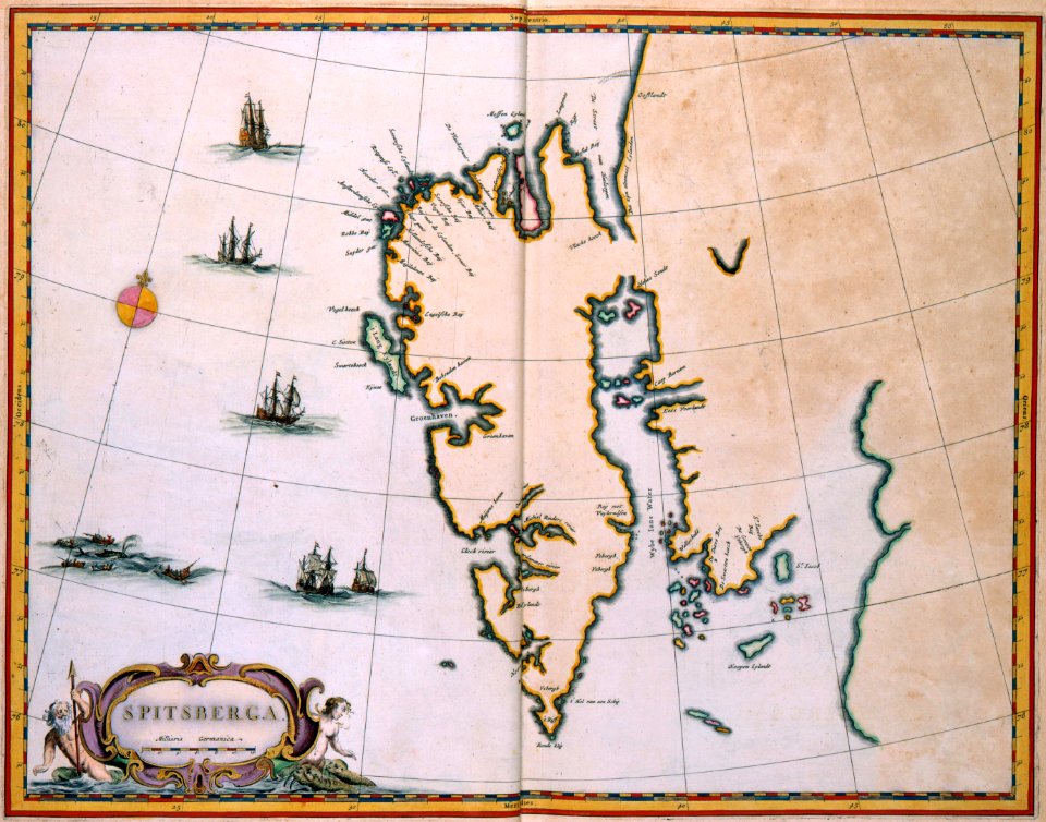
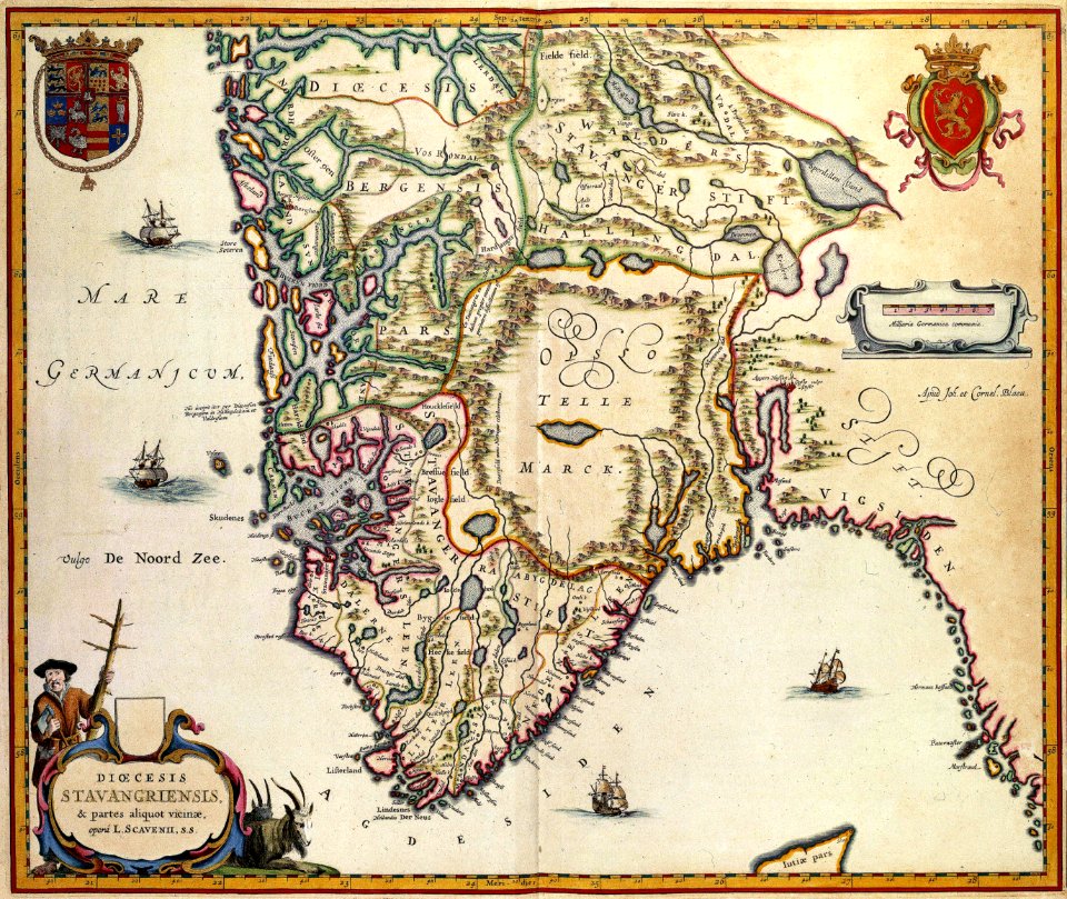
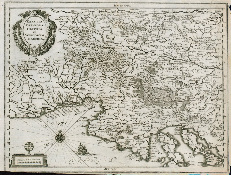
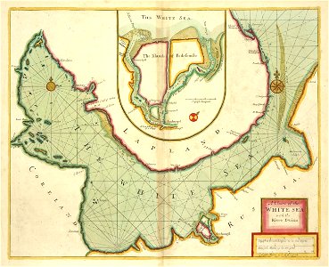
old maps of scandinavia
maps with cartouches
maps with cartouches
atlas van der hagen
maps with cartouches
atlas van der hagen
maps with cartouches
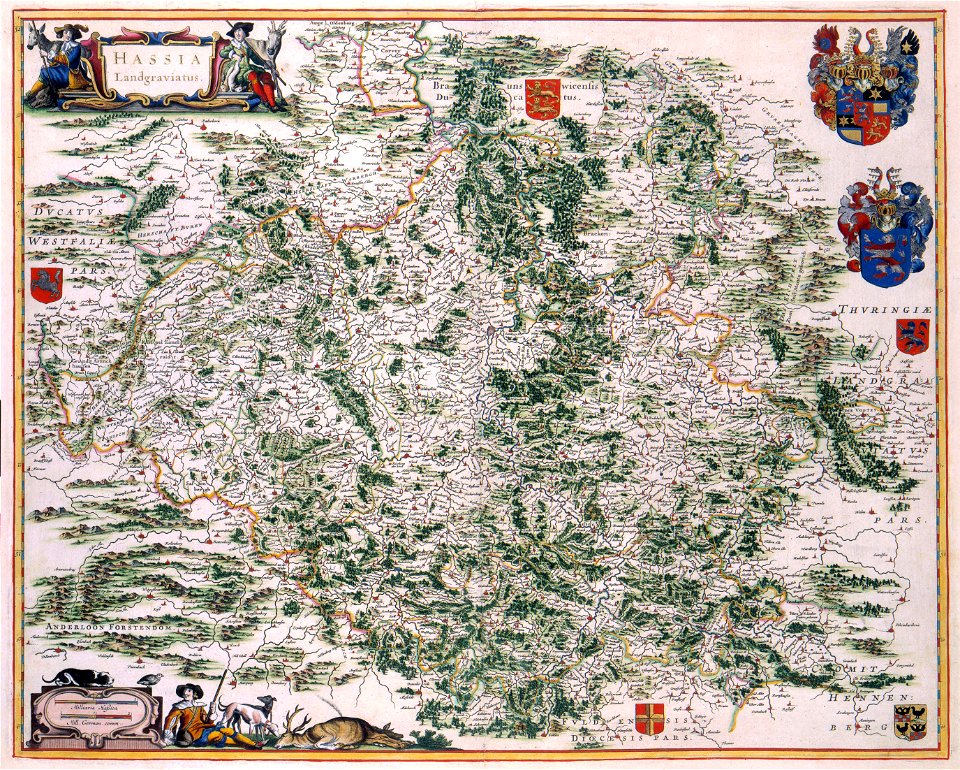
old maps of hesse
maps with cartouches
old maps of hesse
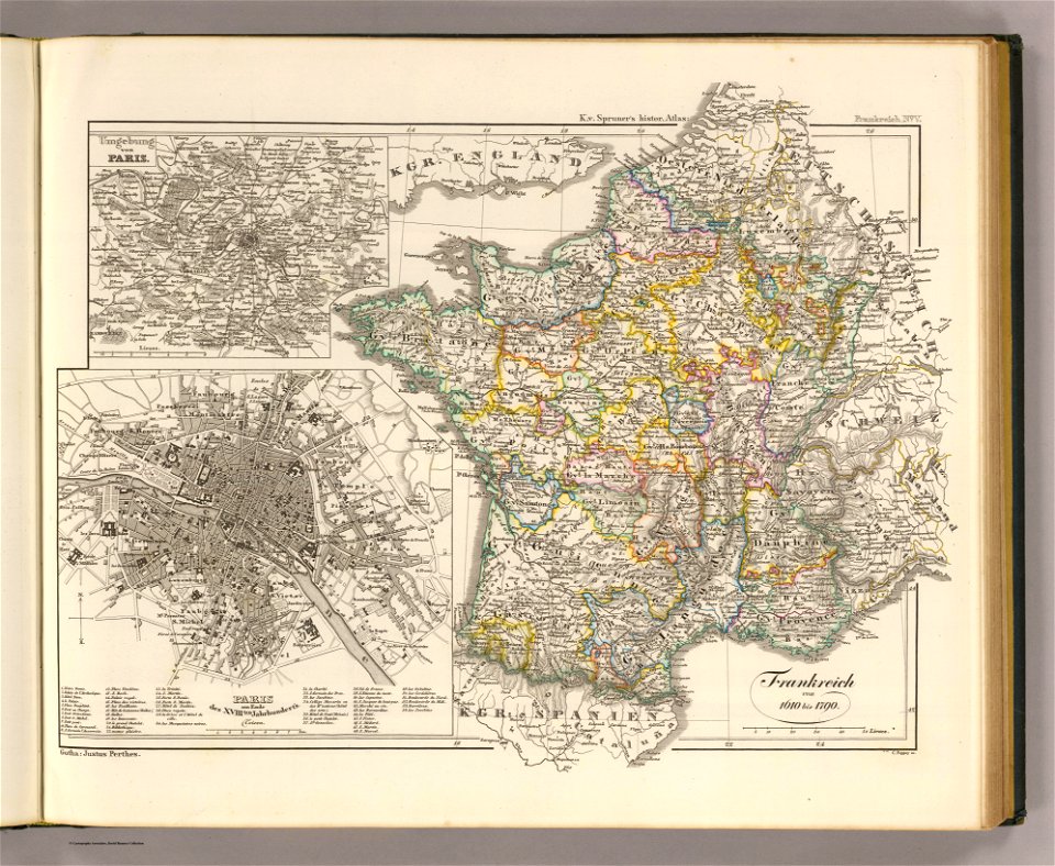
17th-century maps of france
maps with cartouches
17th-century maps of france
maps with cartouches
old maps of france
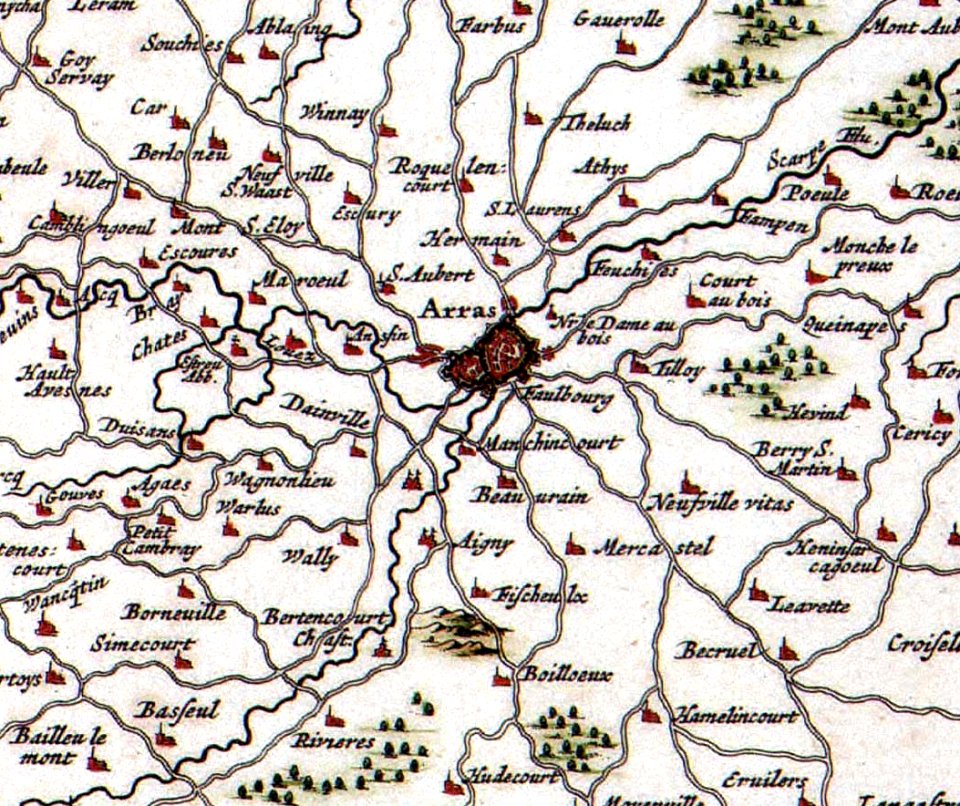
old maps of arras
old maps of japan
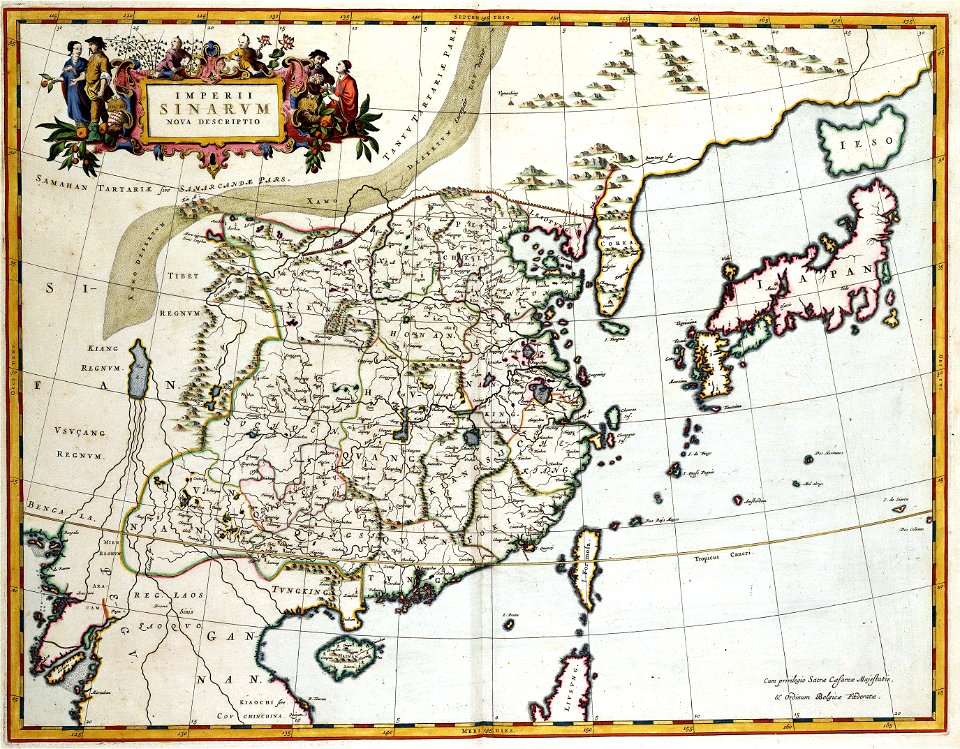
old maps of china
atlas van der hagen (volume 4)
maps with cartouches
maps with cartouches
old maps of israel
18th-century maps of the spanish empire
johannes ratelband
david rumsey historical map collection
j. and p. knapton
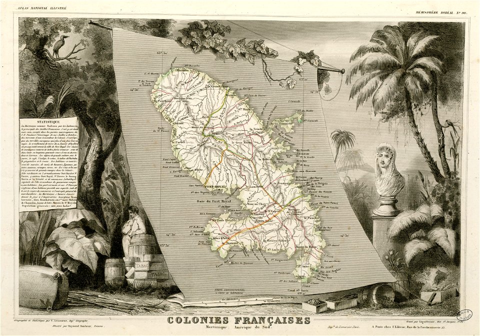
victor levasseur - maps of the world
frédéric-auguste laguillermie
david rumsey historical map collection
jr
maps from the mechanical curator collection
1814 maps
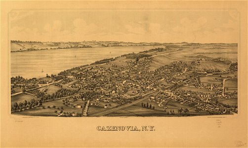
cazenovia
new york
new york
green
new york
rockton
maps made in the 16th century
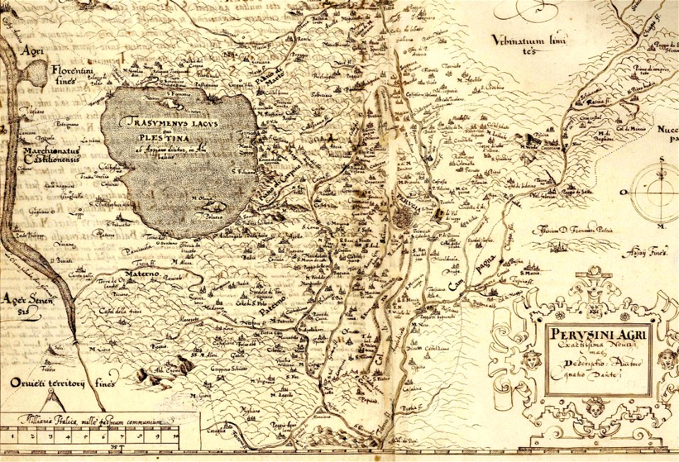
ignazio danti
dutch-language maps
atlas van loon
maps and topographical views by joris hoefnagel
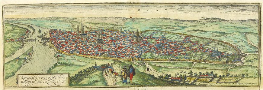
old maps of rouen
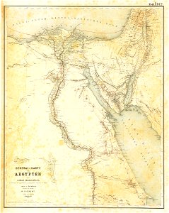
lepsius-projekt - maps
egypt in the 1850s
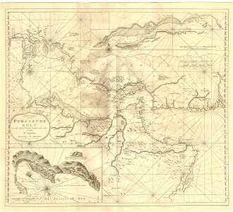
johannes van keulen
1753 maps
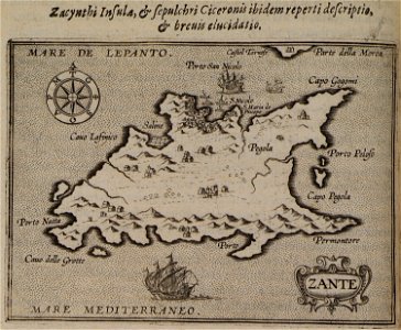
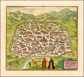
itinerarium hierosolymitanum et syriacum..., 1619
ships on maps
maps by gustav adolf von varendorf
maps of hamburg-billstedt
maps by willem and johannes blaeu
bourbourg
maps from turris babel
by athanasius kircher
19th-century maps of africa
1865 maps
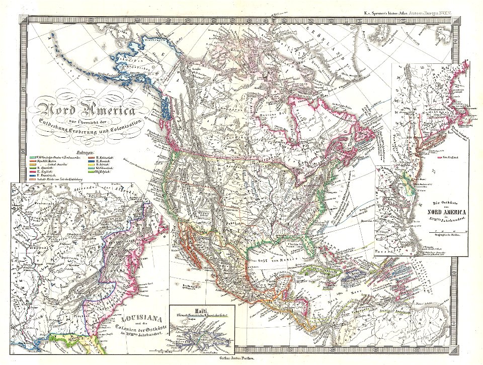
karl spruner von merz
1865 maps
maps by joseph hutchins colton
1867 maps of new york (state)
maps by joseph hutchins colton
1855 maps of the united states
maps by joseph hutchins colton
1855 maps of new york (state)
karl spruner von merz
1855 maps
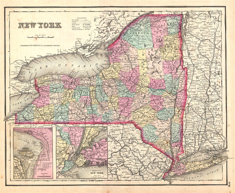
maps by joseph hutchins colton
1857 maps of new york (state)
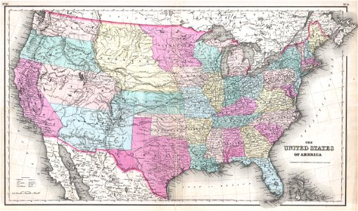
maps by joseph hutchins colton
1857 maps of the united states
maps by joseph hutchins colton
1876 maps of new york (state)
maps by frederick de wit
1680s maps of asia
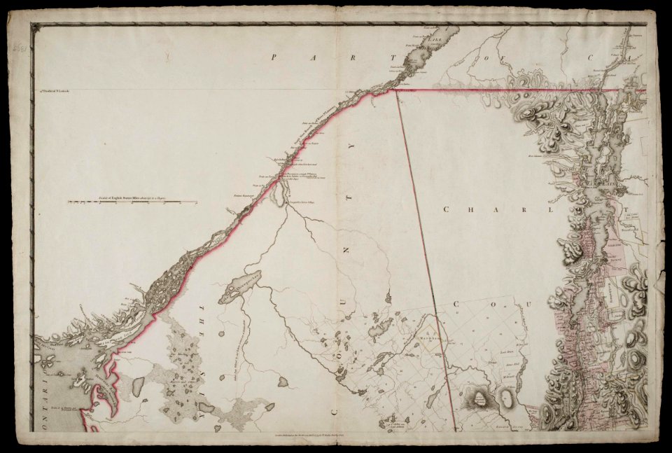
maps by claude joseph sauthier
old maps of new york (state)
maps by claude joseph sauthier
old maps of new york (state)
maps by claude joseph sauthier
old maps of new york (state)
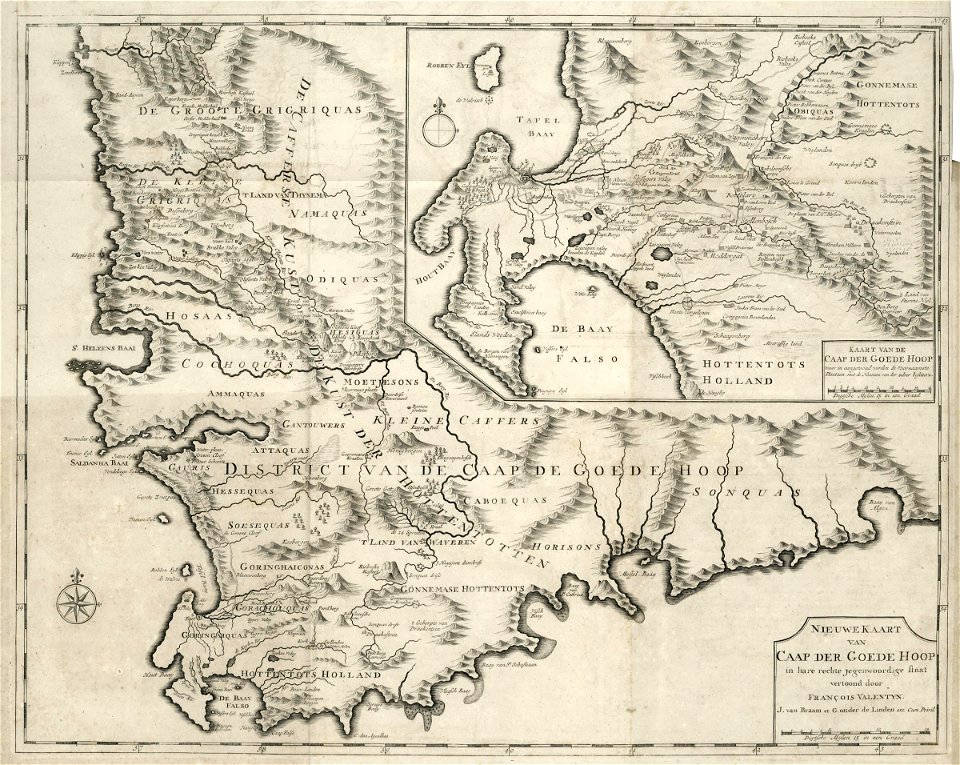
maps of the dutch east india company - south africa
1726 maps
maps of the dutch east india company - south africa
1726 maps
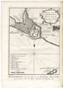
old maps of the dutch east india company - malaysia
1753 maps
maps of the west-indische compagnie
1768 maps
maps of the dutch east india company - indonesia
1753 maps
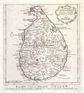
maps of the dutch east india company - sri lanka
1753 maps
claes jansz. visscher (ii)
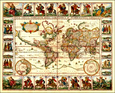
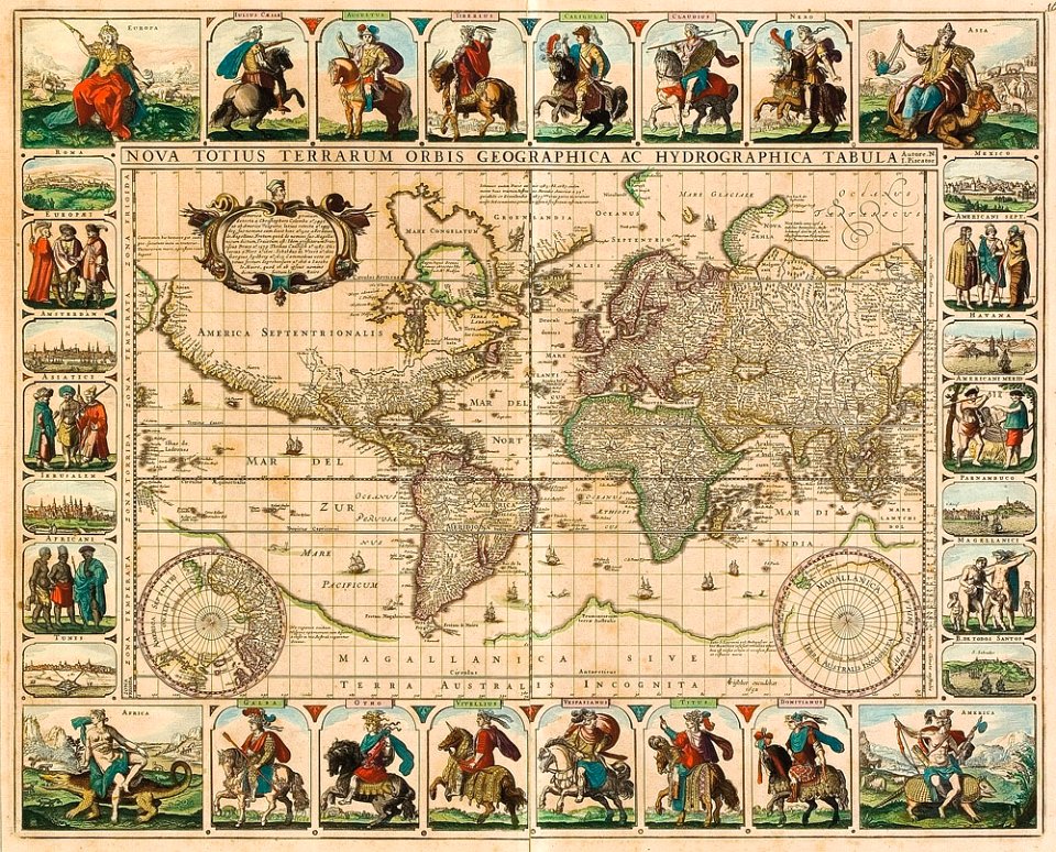
1650s maps of the world
claes jansz. visscher (ii)
1650s maps of the world
maps by willem and johannes blaeu
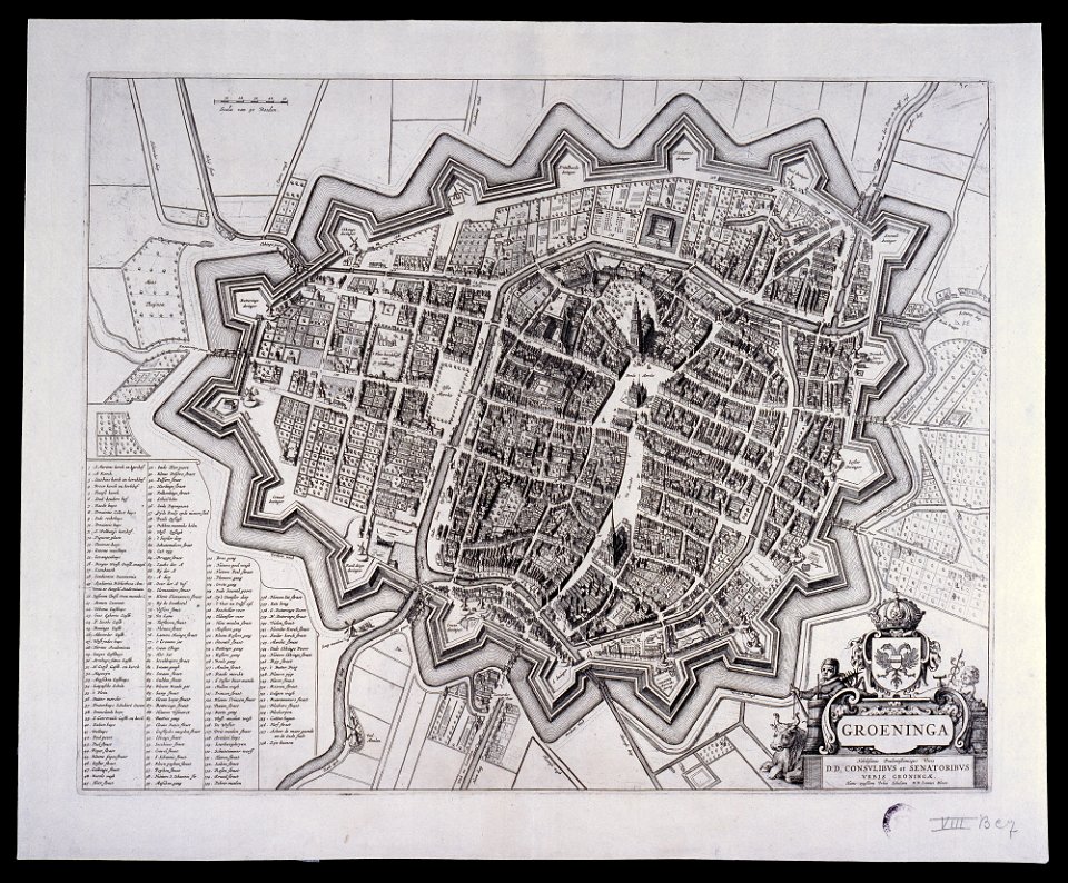
old maps of groningen (city)
new york
carthage
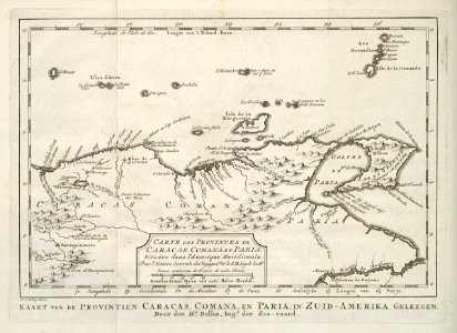
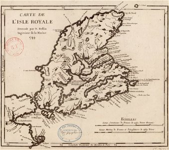
maps by jacques-nicolas bellin
old maps of cape breton island
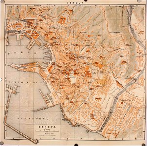
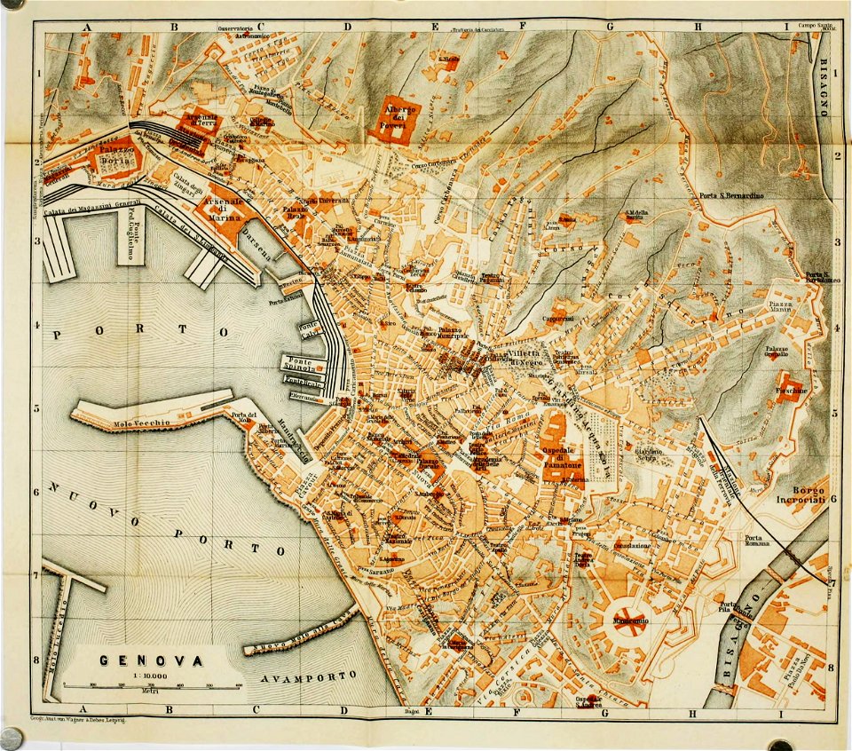
wagner & debes
old maps of genoa
wagner & debes
old maps of genoa
fonds ancely - bibliothèque municipale de toulouse - maps
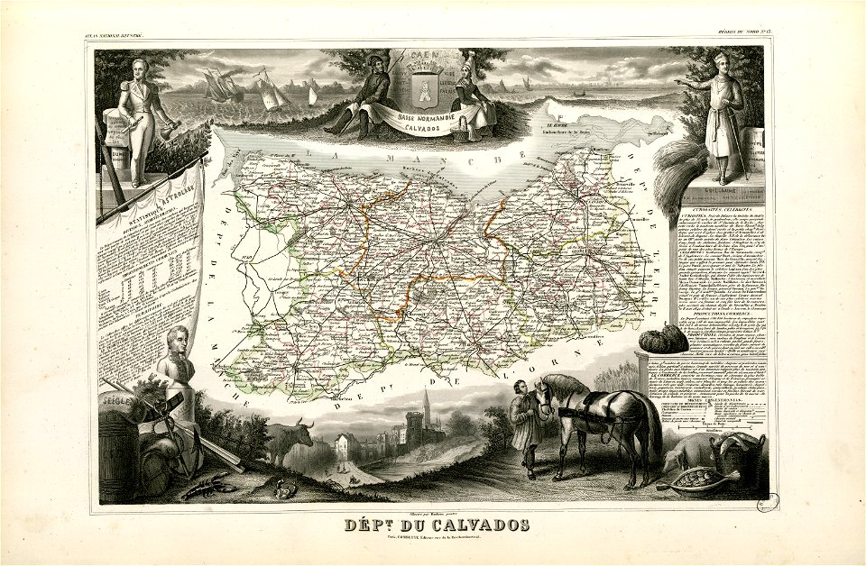
old maps of calvados
17th-century maps of the world
maps by frederick de wit
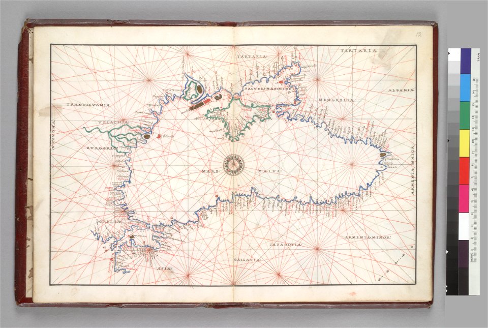
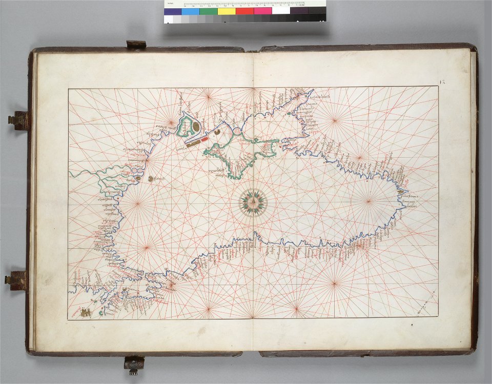
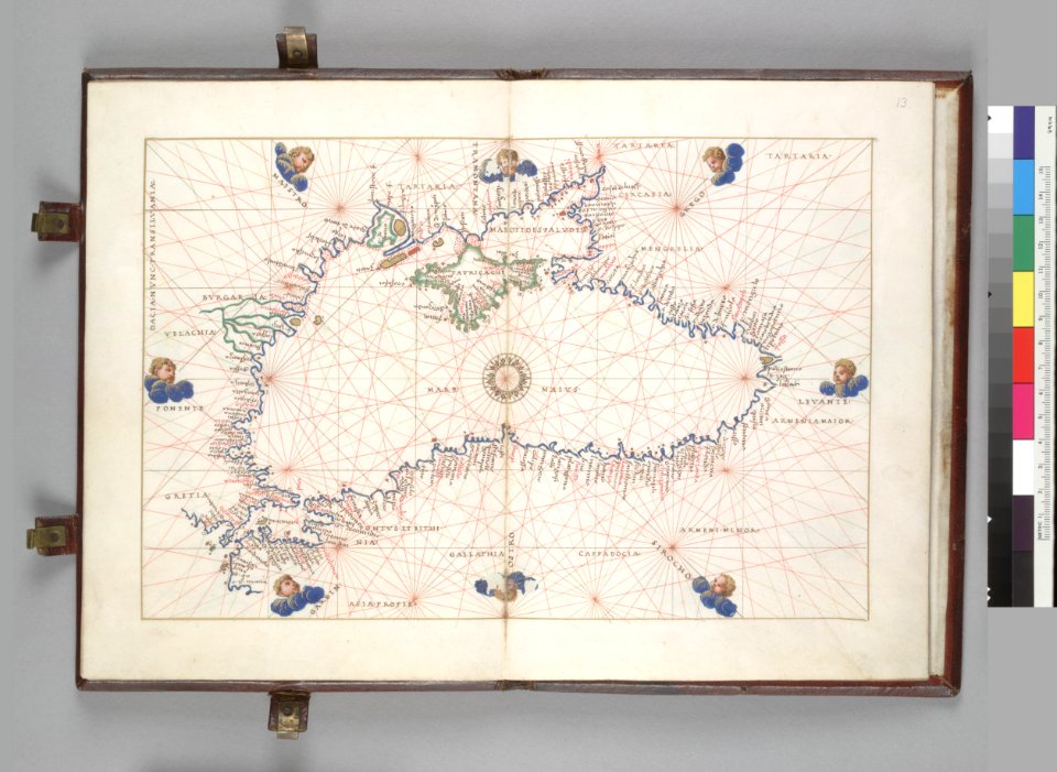
16th-century maps of the black sea
battista agnese
16th-century maps of the black sea
battista agnese
16th-century maps of the black sea
battista agnese
braun & hogenberg
georg braun
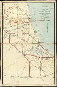
rail transport in chicago
1898 maps
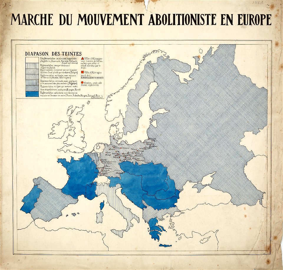
encyclopaedia universalis mundaneum
french-language maps of europe
maps in the library of congress
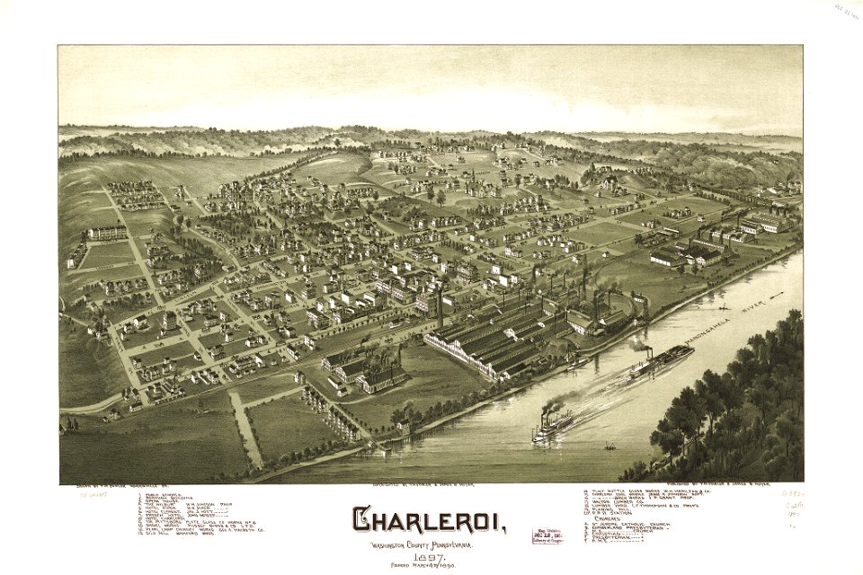
charleroi historic district
maps in the library of congress
charleroi historic district
old maps of venice
johannes ratelband
maps by jacob van deventer
old maps of harderwijk
james cook (maps relating to)
robert sayer
new york
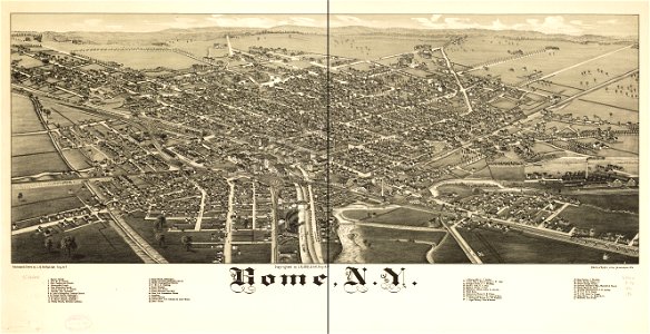
rome
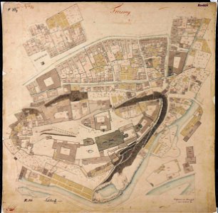
maps by royal bavarian land tax commission
old maps of freising
maps by royal bavarian land tax commission
old maps of freising
engravings by matthäus merian
1649 maps
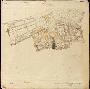
maps by royal bavarian land tax commission
old maps of freising
maps by royal bavarian land tax commission
old maps of freising
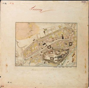
maps by royal bavarian land tax commission
old maps of freising
maps by royal bavarian land tax commission
old maps of freising
david rumsey historical map collection
old maps of france
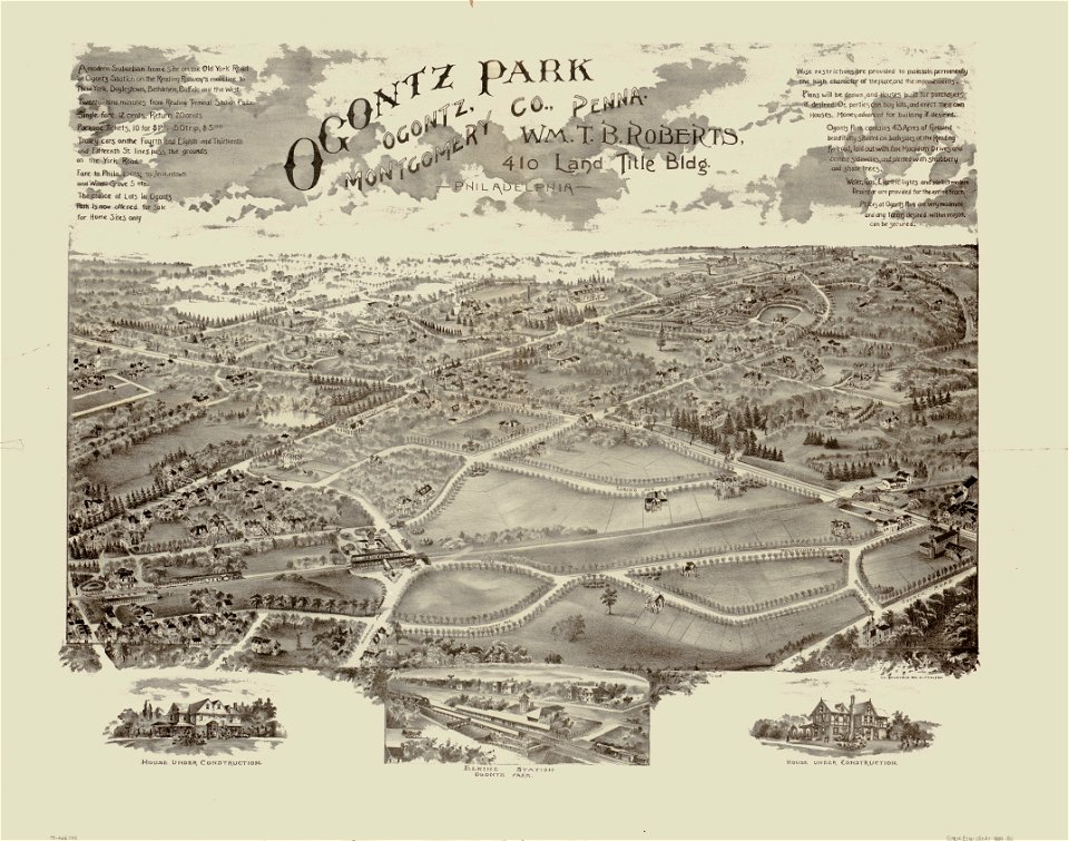
o. h. bailey
1880 maps
o. h. bailey
1880 maps
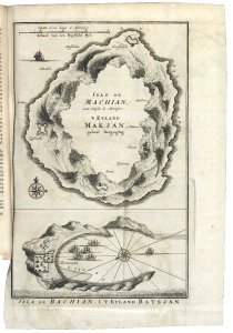
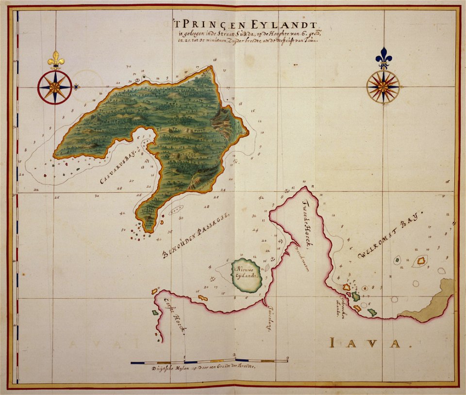
17th-century maps of indonesia
johannes vingboons
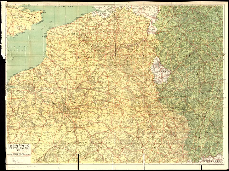
maps of world war i by the daily telegraph
1915 maps
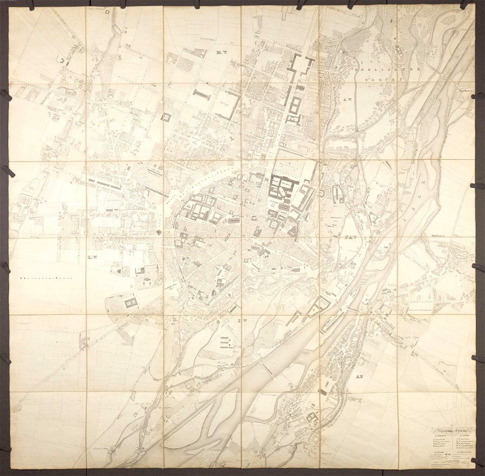
old city maps of munich
munich in the 1830s
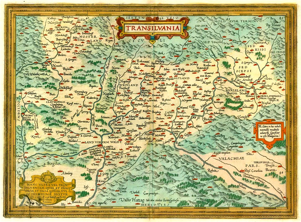
1612 maps of transylvania
maps by abraham ortelius
maps showing 18th-century history
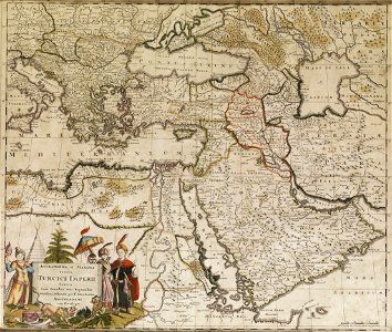
old maps of the ottoman empire
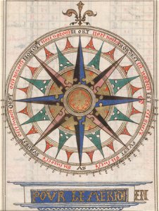
compass roses on maps
almanacs of france
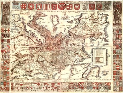
coats of arms of galicia (spain)
holy roman empire
l'illustration
1862
old maps of hesdin
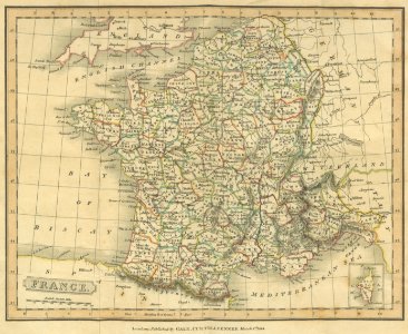
old maps of france
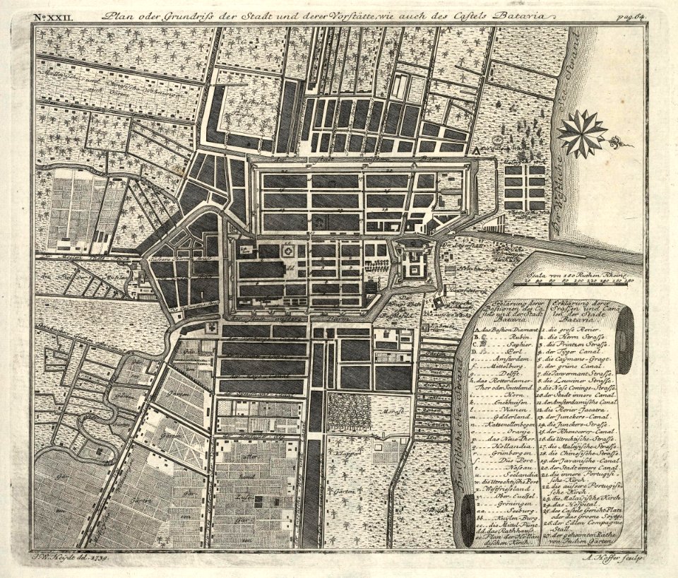
kota tua
batavia
hatched coats of arms
atlantic ocean
maps by nicolas sanson
northern michigan
fonds ancely - bibliothèque municipale de toulouse - maps
robert batty (artist)
files from the bodleian libraries
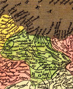
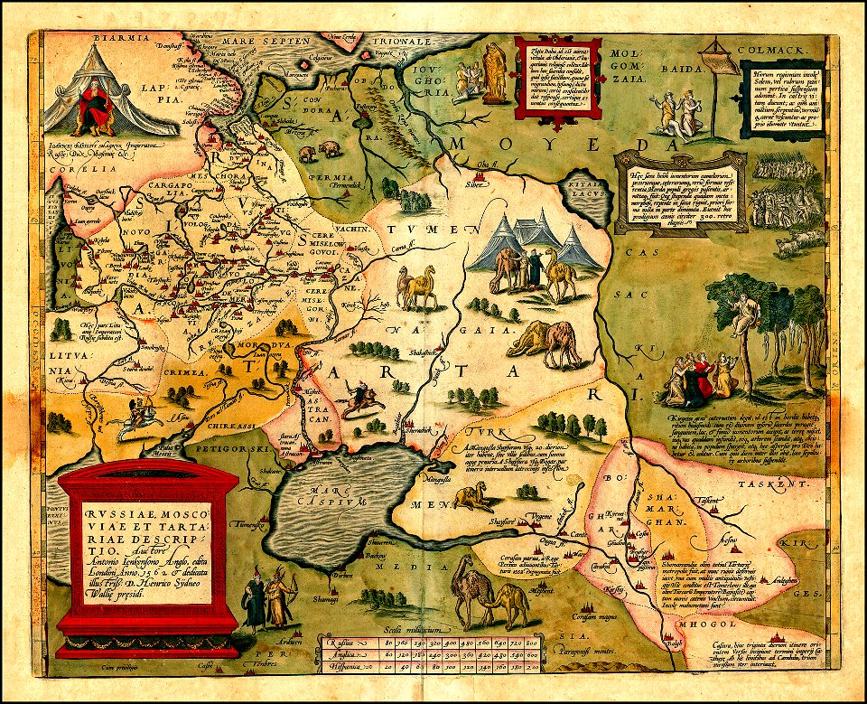
maps of tartary
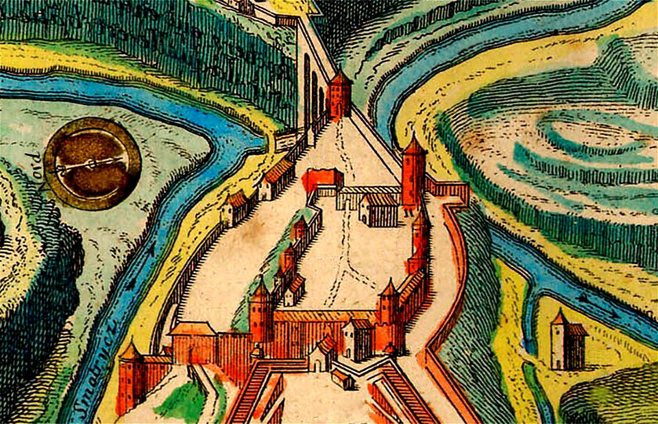
maps of kamianets-podilskyi
nicolas de fer
1760s etchings
1760 maps
images from the new york public library
old maps of the tsardom of russia
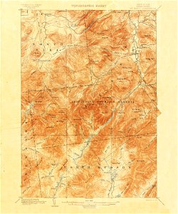
united states geological survey maps
united states geological survey
3301 - 3400 of 1,096,168
Next page
/ 10962